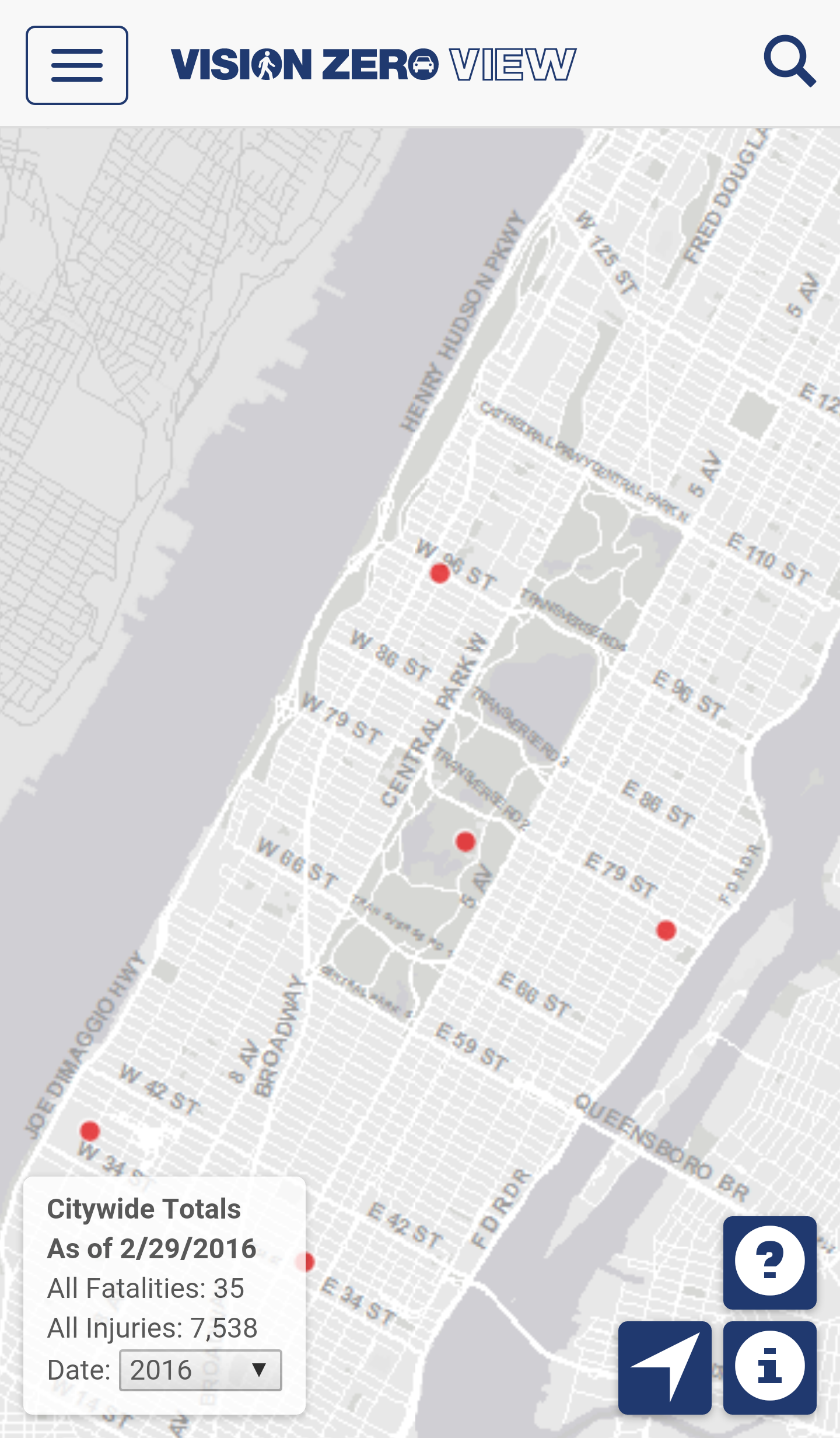
The Vision Zero View web application displays New York City traffic crash injury and fatality data, speed limits for all of the city’s streets, Vision Zero outreach program locations, and street safety construction projects. Detailed information for all of the displayed feature sets can be viewed within the application. Crash data is categorized by mode of transportation, and is grouped by year and by month. The summary view displays demographic data, traffic crash injuries and fatalities, and Vision Zero initiatives grouped by city council districts, community districts, and police precincts. The application provides a search tool to locate street addresses or intersections, a geo location button to find the user’s current location, and zoom/pan map functionality. All of the displayed data is publicly available in open geographic data formats, and can be downloaded through a link to the NYCDOT data feed page that is given in the application.
 NYC Vision Zero View